Search for satellite data
Follow these steps to search for satellite data in the Catalogue.
Prerequisites
- You need to have access to a FarEarth subscription with permission to view the Catalogue
- Satellite image products must be available in your FarEarth Archive
note
If you do not have access to FarEarth, contact your organisation's Administrator.
caution
To switch between your organisation's subscriptions, click on the dropdown menu.
Ensure you select the account associated with the data you want to view.

Step 1
- Go to FarEarth (https://gateway.farearth.space/)
- Log in with your e-mail and password
Step 2
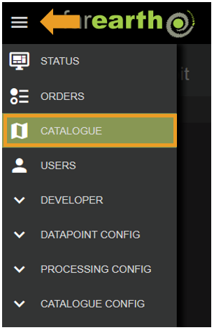
- Click MENU
- Click CATALOGUE
Step 3
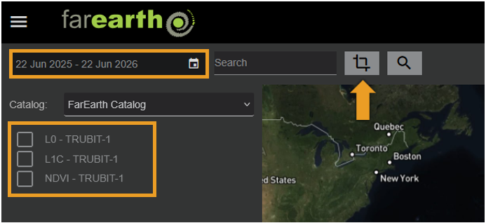
- If you want to limit your search to a specific period, click on the DATE RANGE
- If you want to limit your search to a specific area on the map, click on the MAP CROP tool
- If you want to limit your results to a specific Collection, select one or more in the list provided
info
How to use the MAP CROP tool
- Click on the MAP CROP button to enable the tool
- Click once on the map to start drawing, click a second time to end the rectangle
Step 4
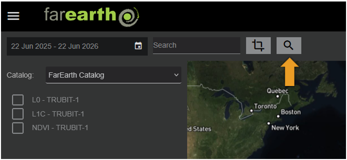
- Click SEARCH
Step 5
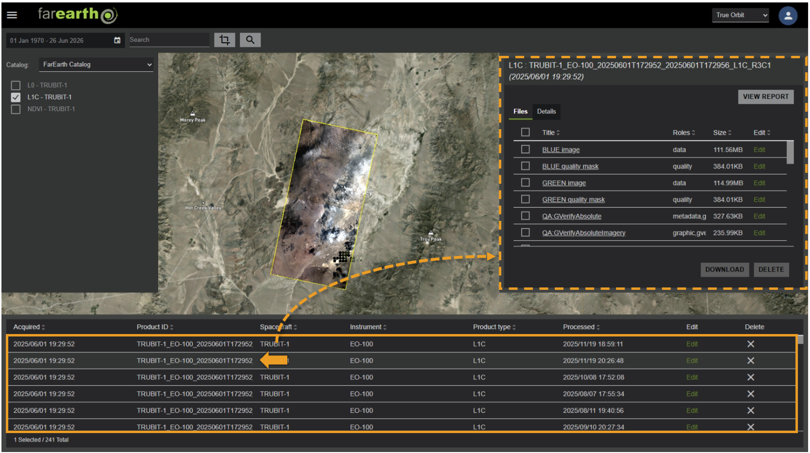
- Click a product to view details
Expected outcome
- You can find all products in your Archive through the Catalogue